Upstate, the Midlands, and the Lowcountry will start the weekend with mostly cloudy skies. However, rain will fall all over the state at different times throughout the weekend.
The first is what’s left of Francine, which joins with the next system and its fronts to the west. A stagnant front lies just to our south, and it will slowly move north a bit on Saturday. This will make the weather less stable, which will lead to more showers and thunderstorms.
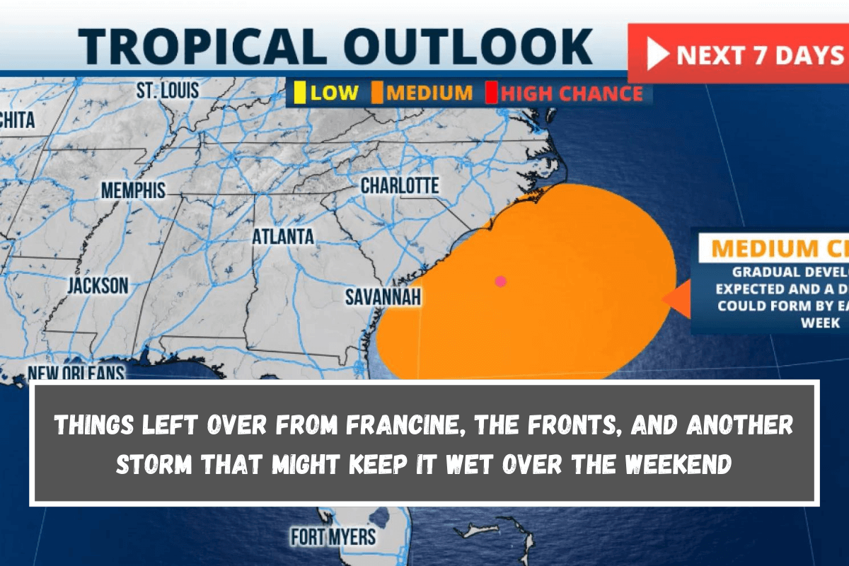
We also keep an eye on the chance that a low-pressure system will form over the Atlantic Ocean just to our east. It has a medium chance of becoming a hurricane in the next seven days, according to the National Hurricane Center.
There isn’t a low-pressure area there right now that could turn tropical, but the energy left over from the front that isn’t moving could be the spark that makes it happen. As this system tries to form, it will keep the flow on land going through the Lowcountry and the Pee Dee.
Heavy rain is expected along the coast, east of I-95. Over the next 5 days, it could rain anywhere from 5 to 7 inches, and in some places it could hit 9 inches. Stay away from roads that are flooded. Don’t drown, turn around.
We will keep an eye on how the low-pressure system just off the coast changes. Keep in mind that if a tropical storm forms, we won’t have much time to get ready because it will be close to us, so stay informed over the weekend.
If and when this storm does form, it will probably move toward the Pee Dee or southern North Carolina. There will be news late Saturday night or early Sunday morning.


Leave a Reply