As one winter storm system moved out of the state on Monday, Jan. 6, forecasters warned another was likely to arrive later in the week, bringing additional chances for snowfall across much of North Carolina.
When will the next winter storm arrive?
The storm that dumped snow, ice, and rain to areas of North Carolina on Sunday is forecast to move off the coast by late Monday, leaving sunny skies Tuesday through Thursday.
However, forecasts predict that the cold air will persist, and that Raleigh, as well as central and eastern North Carolina, will be colder than normal for this time of year throughout the week. Highs will range from the high 30s to the low 40s, while lows will fall into the 20s. It will be cooler in the mountains, with low temperatures in the teens.
The next system is predicted to arrive on Friday, January 10, with a probability of precipitation through Saturday morning.
Will Raleigh get snow this weekend?
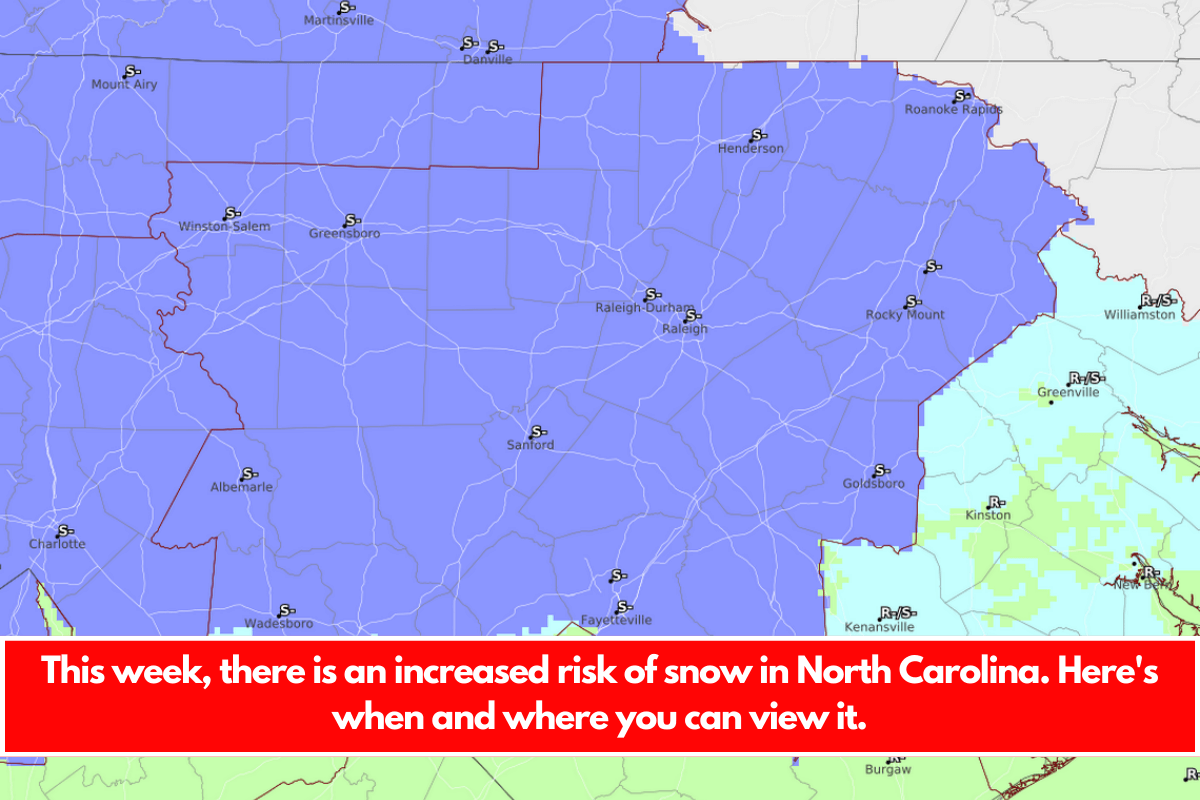
Forecasters said Monday it was too early to predict whether the precipitation will be snow or rain, but early indications are that it may begin as snow late Friday or early Saturday in certain locations before transitioning to rain and finishing in the afternoon on Saturday.
As of Monday, the rain/snow line for the Friday event, which separates the lucky from the unlucky based on your climatic propensity, remained unknown. Forecasters said most computer models show the rain/snow line slipping north of the I-85 corridor by Saturday AM, but it may be much further south as the system approaches.
As of Monday, local predictions predict snow Friday night or early Saturday from the mountains to Charlotte, as far south as Fayetteville and east as Greenville.
Temperatures in central and eastern North Carolina are predicted to reach the low 40s on Saturday.


Leave a Reply