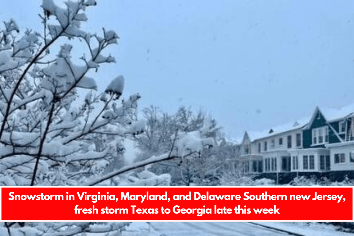
The huge storm from the Plains has now reached the Mid Atlantic, and snow has fallen overnight in Virginia, Maryland, and Delaware. Now comes the final push northward into the early afternoon before dry air descends from New England and effectively disintegrates the snows from radars.
Winter weather advisories extend from Eastern Pennsylvania to New Jersey south of Route 195. Extreme Southeast Pennsylvania, southernmost New Jersey, Delaware, Maryland, and Virginia are all under Winter Storm Warnings.
In terms of snow accumulation, places outside of any advisories or warnings will likely see a coating of no more than an inch, while advisories will see 2 to 4 inches, and Winter Storm Warning zones will see 4 to 6 inches or more. Northern Virginia and Maryland might see 10 inches or more.
The radar loops show precipitation moving west to east, with the northern fringe battling to move north of NYC and Northern New Jersey.
The surface low in West Virginia will emerge from the Virginia Capes around lunchtime, and winds will shift northward and gradually strengthen later this afternoon and evening. Dry air will arrive from New England, and the HRRR model loop will show how the snow area collapses about 1 or 2 p.m. this afternoon.
Today’s temperatures will be in the 20s in regions where it snows hard enough. Otherwise, most other locations with minimal or no snow will see highs in the lower 30s under cloudy skies. Tonight will be breezy, with the skies mostly clear. Lows will range from the teens to near twenty. Tuesday will be windy and cold, with some sun. Highs will be between the upper 20s and lower 30s.
Late this week, a new storm will form in the Gulf of Mexico, bringing snow, sleet, and freezing rain to parts of the Deep South, from Northern Mississippi to North Georgia and the Carolinas. The block to the northeast in Atlantic Canada will play a significant role in determining the storm’s long-term outcome.
If the block is too strong (which it very well could be), snow will fall in the Carolinas and Virginia before the storm moves eastward and offshore. A farther north route would need the block’s move to the east. We will study model developments over the next few days to see which direction this goes.


Leave a Reply