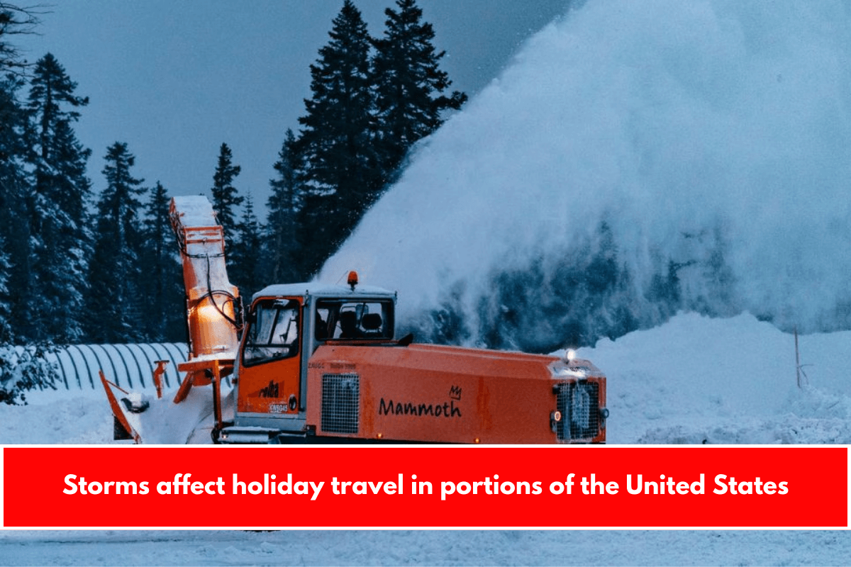
Severe weather battered parts of the Pacific Northwest Thursday, with forecasts predicting a return of heavy rain in a few southern and midwestern states. The wave of storms disrupted travel plans following the Christmas holiday, resulting in hundreds of flight cancellations nationwide.
Thunderstorms caused ground stops at Dallas-Fort Worth International Airport and Dallas Love Field on Thursday afternoon.
In what AAA predicted to be the busiest holiday travel season on record, there were at least 264 flight cancellations out of DFW as of Thursday evening, accounting for 22% of all cancellations nationwide, according to flight tracking website FlightAware.
Another 550 flights departing from DFW were delayed, accounting for 46% of total delays nationwide.
“We have a connecting flight here from DFW to Tokyo for our second anniversary and it’s been delayed 12 times, and the communication has been poor,” Latoyia Pugh, of CBS News, said.
Texas Governor Greg Abbott activated the state’s emergency response plan on Thursday afternoon to prepare for the weather.
“Texas is prepared to deploy all necessary resources to help local officials respond to severe weather threats,” Abbott told reporters in a statement. “As Texans and out-of-state visitors begin traveling after the Christmas holiday, it’s crucial that everyone regularly monitor road conditions, make an emergency plan, and heed the guidance of state and local officials.”
At least one suspected tornado touched down Thursday evening near El Campo, Texas, about 80 miles southwest of Houston.
The most powerful storms were affecting a region stretching from Shreveport, Louisiana, to Beaumont, Texas, according to CBS News senior national weather correspondent Rob Marciano.
Earlier Thursday morning, the National Weather Service in Fort Worth issued a series of watches and warnings for flash floods, dense fog, tornadoes, and thunderstorms throughout the region. All tornado watches and warnings had been lifted by Thursday night.
Meanwhile, a National Weather Service advisory predicted moderate to heavy rainfall and a few thunderstorms in Oregon and Washington on Thursday, resulting in up to 3 inches of inundation across the region and possibly some flooding in areas where the rain falls quickly.
Mountain snow, strong winds, and dangerous surf were also predicted.
According to outage tracker FindEnergy.com, nearly 60,000 customers in Washington and Oregon were without power on Thursday morning. However, by Thursday night, the number had dropped to approximately 14,600 customers.
This is the latest in a series of storms caused by an atmospheric river that is currently affecting the West Coast.
The initial round in the Northwest is expected to move inland by Thursday afternoon, providing a brief respite before another round of severe weather arrives Thursday night in many of the same areas. The upcoming storm is expected to bring another inch or two of rain by Friday morning.
High wind warnings were also issued for parts of coastal Oregon and Washington. Forecasters in Medford, Oregon, warned on Thursday morning that “damaging winds will blow down trees and power lines.”
The National Weather Service in Seattle issued similar warnings overnight Wednesday and Thursday, noting that wind gusts in the area could reach 60 mph for coastal areas and 55 mph around Puget Sound.
Meteorologists in Portland reported a wind gust of 92 mph at Beacon Rock, Washington, about 35 miles east of Portland, early Thursday morning, according to the weather service.
The most recent storms in the Pacific Northwest followed a series of dangerous weather along the West Coast this holiday week.
Earlier, a major storm hammered Northern California, killing at least one person on Monday at Sunset State Beach in Santa Cruz, who became trapped beneath debris that authorities believe piled on top of him due to a large wave, according to the Associated Press.
Two people had to be rescued after a section of the Santa Cruz Wharf collapsed.
Thick fog also hung over parts of the Midwest on Thursday. Forecasters in Kansas City predicted fog and light rain throughout the day, with areas of especially low visibility — less than a quarter of a mile in some places — expected to linger across central and eastern Kansas, as well as central Missouri, until the morning.
Forecasts indicated that the fog would dissipate, but only to some extent, by the afternoon.
The outlooks farther north in Illinois were fairly similar.
“Areas of dense fog will remain over parts of northern Illinois into this afternoon,” the National Weather Service in Chicago warned in a mid-morning advisory Thursday. “Expect low visibilities and slowed driving out on the roads until conditions improve.”


Leave a Reply