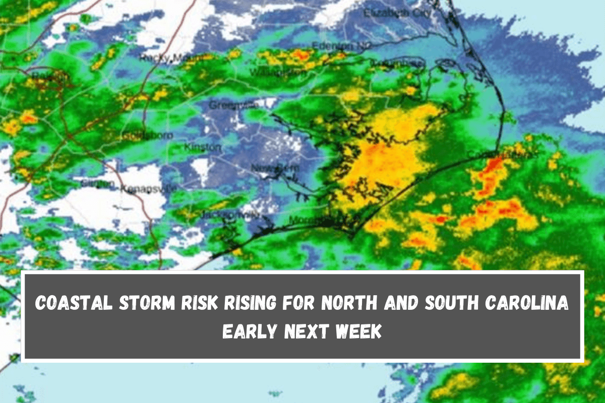
Hello everyone, it’s afternoon. Heavy rain and thunderstorms are still moving into the Cape Hatteras area of North Carolina. They will then move inland, bringing a lot of rain and strong to severe thunderstorms in some places.
We’ll keep an eye on this tropical moisture as it moves in and makes journey difficult and the seas dangerous. Strong winds in certain areas can make boats dangerous by creating rough seas and water spouts.
These dangers could spread to land, causing damaging winds and flooding in places where heavy rain bands pass over quickly. There are still strong rain and thunderstorms in South Carolina, which is just across the state line from North Carolina.
The bad news is that this is just a starter and not the main story. This is related to what we talked about a few days ago: the chances of a coastal storm are starting to rise. You can see energy in North Carolina right now. It will stay there as the energy from Hurricane Francine moves out of the Mississippi Valley and away from the Southeast Coast.
Stable energy and old tropical energy will work together to make a new wave of low pressure over the warm water off of South and North Carolina. We expect a pretty strong and compact low pressure system to form, then head back inland, whether we see tropical development or not.
I think that at the very least there will be gale-force winds off the coast of North Carolina, along with heavy rain and the possibility of serious weather. The waves might be rough, the coast might flood, and the beach might wear away in large areas.
As of right now, I’d put the danger zone around Murrell’s Inlet/Myrtle Beach, up to Sunset Beach, Cape Hatteras, and maybe even along the very southeast coast of Virginia. The time frame for this possibility is still somewhere between Monday and Wednesday.


Leave a Reply